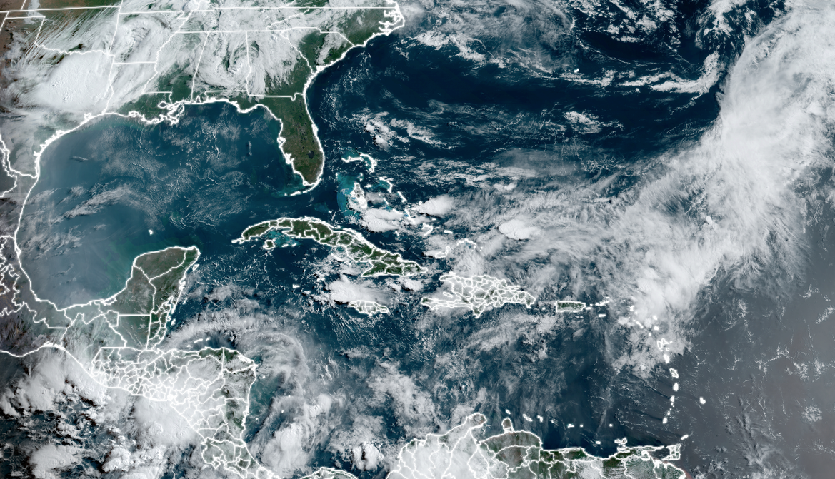
MIAMI – As the Atlantic and Gulf coasts anxiously wade into the first week of what’s been anticipated to become one of the busiest hurricane seasons on record, the tropics have been eerily quiet so far.With no named storms yet through June 5, it’s the latest the Atlantic Basin has gone without its first named storm in a decade. The 2014 hurricane season took the entire month of June off, with Tropical Storm Arthur waiting to form until July 1 as the season’s inaugural named storm.So far, the tropics are fighting off the effects of a massive heat dome that has been parked in Central America and Mexico over the past few weeks, according to the FOX Forecast Center. Typically in June, tropical developments are centered in the Gulf of Mexico and the northern Caribbean.”The presence of the heat dome brought hostile conditions for tropical development to this very region,” FOX Weather Senior Meteorologist Greg Diamond said. “Dry, sinking air under the high suppressed storm activity. Any storms that did develop were met with strong wind shear as winds aloft circled around the high.”HEAT DOME BAKING SOUTHWEST BLEEDS INTO TEXAS WITH STRETCH OF DANGEROUS TRIPLE-DIGIT TEMPERATURESMeanwhile, numerous wildfires have broken out across Central America amid ever-worsening drought conditions, Diamond said.”This dry, smoky air drifted into the Caribbean, where it helped keep storms from forming,” he said.The forecasts for the Atlantic hurricane season have been daunting.NOAA’s forecast of 17-25 named storms this season with 8-13 hurricanes is the most the agency has ever predicted in its inaugural season forecast. NOAA ISSUES ITS MOST AGGRESSIVE HURRICANE SEASON FORECASTS ON RECORDMore than a dozen other hurricane forecasts agree it’ll be a busy season. An average season has 14 named storms.Does this late start mean the aggressive forecasts for the hurricane season could have been too aggressive? Not at all, forecasters say. “On average, the first named storm of the year usually doesn’t form until mid-to-late June, so it’s not unusual to be quiet so far,” National Hurricane Director Michael Brennan told FOX Weather. “The vast majority of hurricane activity and most of the major hurricanes occur during those months of August, September and October. And that’s what we’d expect to see this year with those warm ocean temperatures and the developing La Niña.”Brennan says water temperatures in the Gulf of Mexico are already at 81-82 degrees. “Certainly warm enough to support tropical cyclone activity, but that is the case across much of the tropical Atlantic, the Caribbean and the Gulf,” he said. “Temperatures are 2-3 degrees above normal, and we’ve seen these warm anomalies almost over the entire North Atlantic basin going all the way back into 2023 continuing with at or near record warm temperatures. So the ocean is certainly primed for a busy hurricane season, but it needs the atmosphere to go along and cooperate, and we need those disturbances, whether they be tropical waves or other features, to come along and potentially take advantage of that favorable ocean and, eventually, the atmospheric environment.”And that’s where La Niña could play a factor, as it would decrease vertical wind shear in the Atlantic that would normally thwart tropical system development.”Lower vertical wind shear is a bad thing, and we may be looking at record-low values of wind shear as we head into the peak of the season,” Brennan said. “And that’s going to allow developing systems to take advantage of these very favorable warm ocean conditions.”And just as important: Tropical history is littered with seasons that began late and still went on to be above average … and devastating.”It’s important to note that things can change quickly, and a lack of early-season activity does not mean the season will be quiet overall,” Diamond said. “One recent example of a season that started late but ended up active was 2022. Alex waited to form until June 4, but the season ended up above average with 16 named storms – one of which was Hurricane Ian.”HURRICANE IAN BY THE NUMBERS: THE SCOPE OF THE CATASTROPHIC DAMAGEThe historically busy year of 2005, which included Hurricane Katrina, saw a whopping 27 named storms plus another unnamed storm that season, despite Tropical Storm Arlene not forming until June 9.The 1998 season, which produced the catastrophic Category 5 Hurricane Mitch, as well as devastating hurricanes Georges, Bonnie and Earl, didn’t begin until Alex was named on July 27.There are signs the tropics may be awakening soon.”The tropical waters are still extraordinarily warm, and the atmospheric pattern over the Atlantic is forecast to become conducive for storms to develop,” FOX Weather Hurricane Specialist Bryan Norcross said. “Long-range computer models indicate that a sharp dip in the jet stream moving across the Gulf of Mexico next week will pull moisture out of the Caribbean. We’ll watch to see if anything develops from that. Jet-stream dips interacting with broad low-pressure areas over Central America are one mechanism we watch for early-season tropical development.”BRYAN NORCROSS: HURRICANE SEASON ON HOLD; WHERE WILL YOU RIDE OUT THE HURRICANE?Bottom line: Don’t get complacent.”There is still a very long way to go in the season,” Diamond said.